Asia · True size
🇵🇭 the Philippines
2.3×
the Philippines is drawn 2.3× smaller on the old map than it really is.
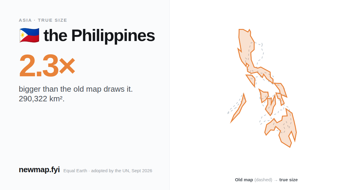
True area
290,322 km²
On the old map
2.3×
drawn smaller than true
Distortion rank
#134
of 176 · 1 = most inflated
Share of world land
0.22%
On the old map
the Philippines looks about the same size as Eritrea on the old map — it isn't.
Shapes above: the Philippines at the size the old map gives it, next to Eritrea's true size. the Philippines's real area is 290,322 km² — Eritrea is 123,680 km².
By area
the Philippines is big enough to fit New Zealand inside it, by area — 266,832 km² combined.
the Philippines would fit inside Italy, Poland and Vietnam, by area.
How many fit?
United Arab Emirates fits inside the Philippines 4.1 times. South Korea fits inside the Philippines 3.0 times.
Why the old map gets it wrong
The old map stretches land more the further it is from the equator — twice the area at 45°, four times at 60°. The Philippines's middle sits at 12°N, where the stretch is about 1.0×.
Area stretch on the old map at each latitude, equator to 80°. The number at the top of this page compares the Philippines's whole share of the old map with its real share of the world's land.