Africa · True size
🇬🇼 Guinea-Bissau
2.3×
Guinea-Bissau is drawn 2.3× smaller on the old map than it really is.
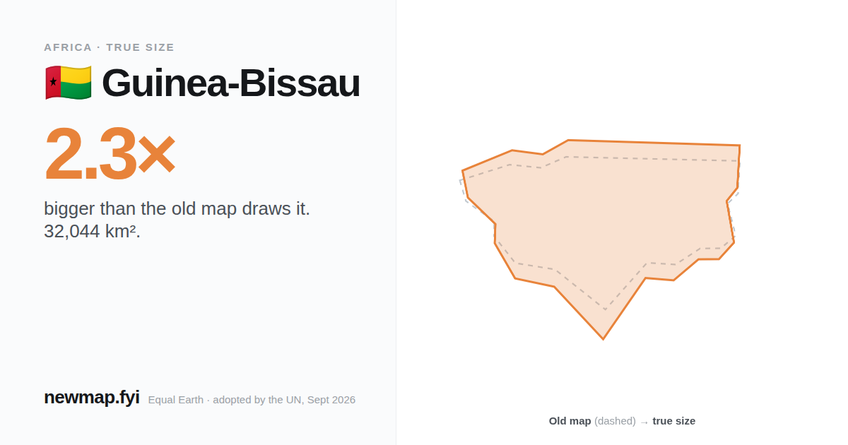
True area
32,044 km²
On the old map
2.3×
drawn smaller than true
Distortion rank
#136
of 176 · 1 = most inflated
Share of world land
0.02%
On the old map
Guinea-Bissau looks about the same size as Montenegro on the old map — it isn't.
Shapes above: Guinea-Bissau at the size the old map gives it, next to Montenegro's true size. Guinea-Bissau's real area is 32,044 km² — Montenegro is 13,663 km².
By area
Guinea-Bissau would fit inside the United Kingdom, New Zealand and the Philippines, by area.
How many fit?
Qatar fits inside Guinea-Bissau 2.9 times.
Why the old map gets it wrong
The old map stretches land more the further it is from the equator — twice the area at 45°, four times at 60°. Guinea-Bissau's middle sits at 12°N, where the stretch is about 1.0×.
Area stretch on the old map at each latitude, equator to 80°. The number at the top of this page compares Guinea-Bissau's whole share of the old map with its real share of the world's land.
Nearby